3D Laser Scanning: also known as HDS Surveying (High Definition Surveying) or LiDAR is a technology that uses lasers to measure and capture environments in 3D.
ALTA/ACSM Title Survey: An ALTA survey is a boundary survey with additional specifications, as provided by the lender (Standards and Table A checklist)
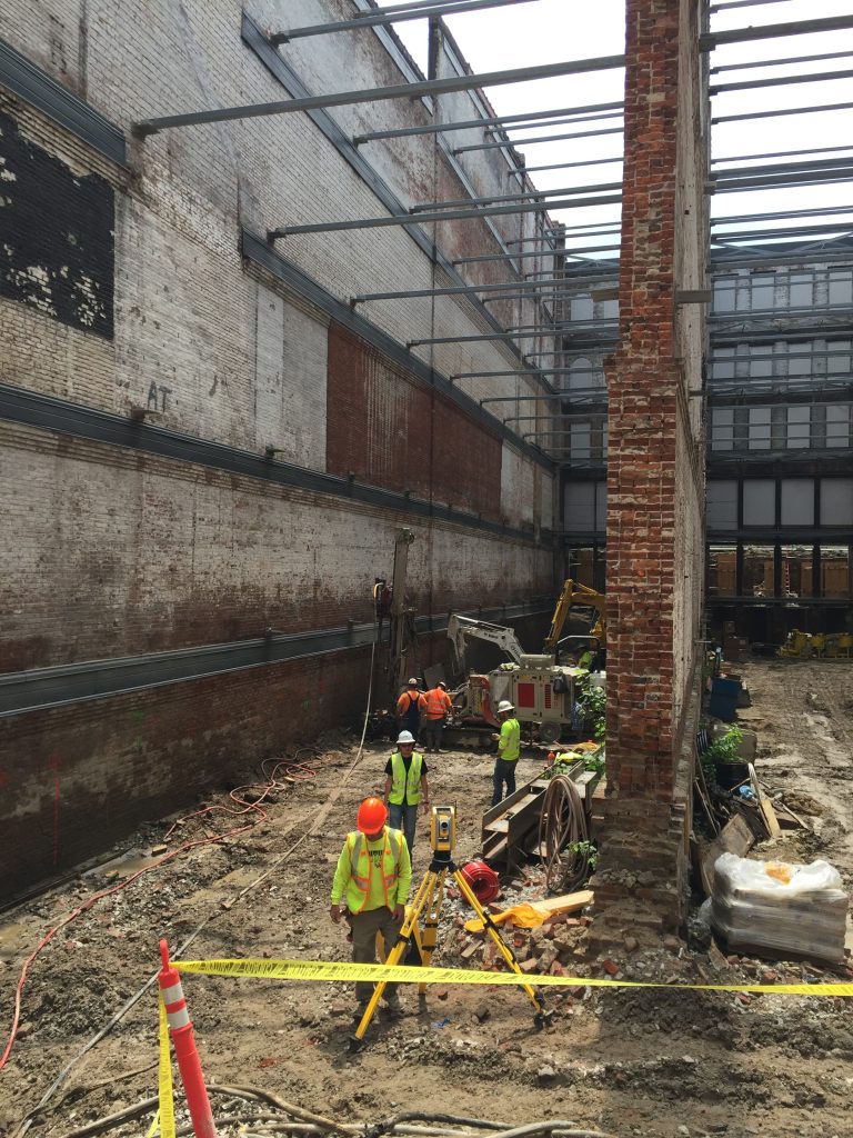
Control Network Surveys
Construction layout: Construction layout can consist of many things. We could simply stake a house on a lot for you, in which we would provide a plot plan or we could layout an entire parking lot to be built. This is based on your needs. We will need plans provided to us by an architect or an engineer.
Deformation/Building Monitoring
Deformation/Building Monitoring
Easements: We can retrace easements, or create the drawing for which the easement is based on for private individuals or utility companies, such as LG&E and AT&T.
Land division: Commonly referred to as a Minor Plat. This will consist of division of property. In Jefferson County, this is a time and labor intensive process and agency approval is not guaranteed. We will always strive to complete our portion of the work in a timely matter.
Topographic mapping: This is a map that will depict the horizontal and vertical location of improvements and the current terrain. This can be completed without or in conjunction with a boundary survey.